The Climate Adaptation Label

We all know we need to make our living environment more climate-adaptive. But what does that actually entail? And how do we assess an area for this? To address this, we developed the "Climate Adaptation Label". The Climate Adaptation Label allows us to visualize and compare the climate-adaptive capacity of an area's current situation and that of a new design.
How does the Climate Adaptation Label work?
An area is sufficiently climate-adaptive when it can cope well with heat, flooding due to heavy rainfall, and drought; also called heat stress, water stress, and drought stress. Our approach makes it possible to compare the existing situation with a new design or with potential design variants. It is also possible to compare design variants with each other. In this way, we make climate adaptation an integral part of our design process.
Calculating the score for an area works as follows:
The benefits of the Climate Adaptation Label
- Compare at a glance what different designs do for the climate-adaptive capacity of an environment, and how they differ from the current situation.
- Make the effect of adapting each specific element clear for each environmental factor.
- Visually demonstrate that climate adaptation is being taken into account. This can create more support for a redesign or the choice of a specific design, and accelerate decision-making processes and public consultation procedures.
- Understandable for all stakeholders in a redesign process: residents, businesses, and politicians.
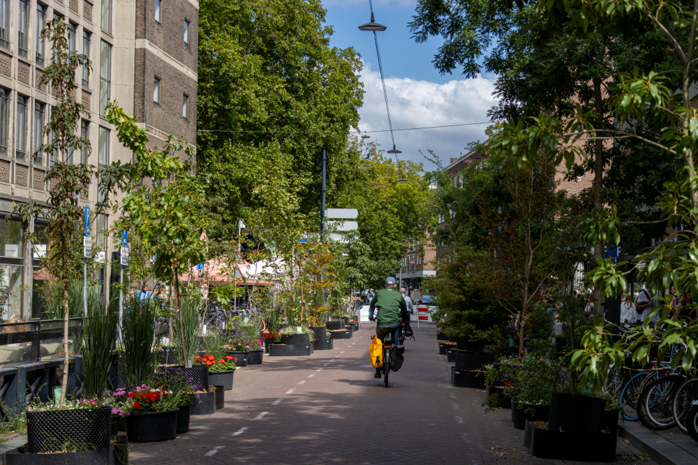
Slide the slider to see the difference between the current situation (huidig) and the design (ontwerp).
Easy to use
Despite the quantitative basis and customization, this climate tool is easy to apply and use. The climate adaptation label is based on easily traceable and transparent data, and the calculations are understandable and easy to follow.